Wakefield District Maps:
Illustrated visitor maps for Wakefield Council.
Approach
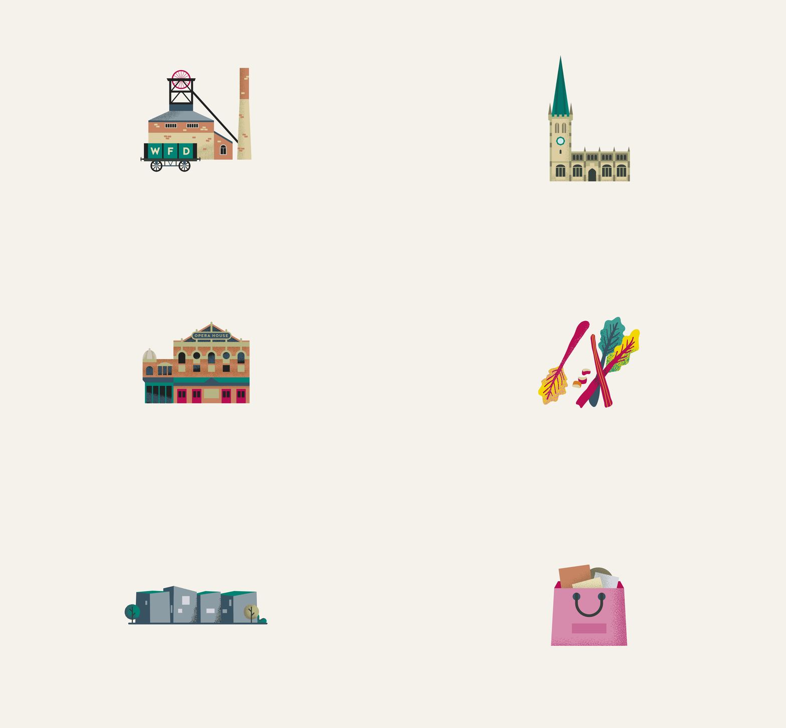
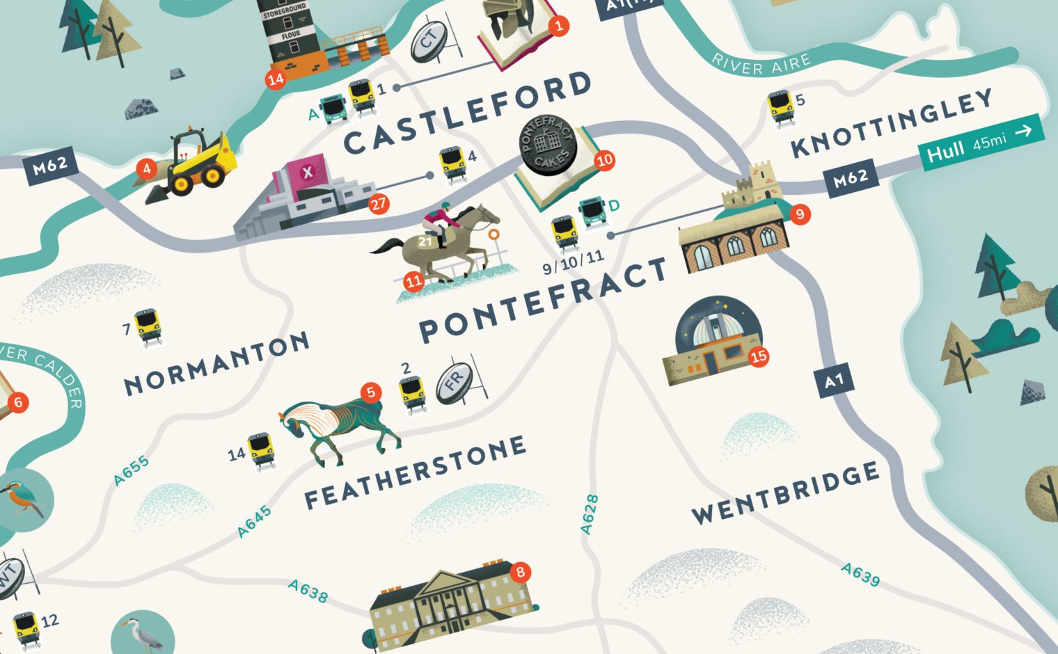
We were commissioned by Wakefield Council to create a set of new illustrated maps showcasing the Wakefield district. We created over 60 unique illustrations depicting attractions, transport hubs, parks and outdoor spaces. The maps also feature the famous Rhubarb Triangle, which is located between Wakefield, Rothwell and Morley.
The maps have been printed on panels that are located across key sites around Wakefield city centre, including the Bull Ring, Wakefield Westgate railway station and Trinity Walk shopping centre.
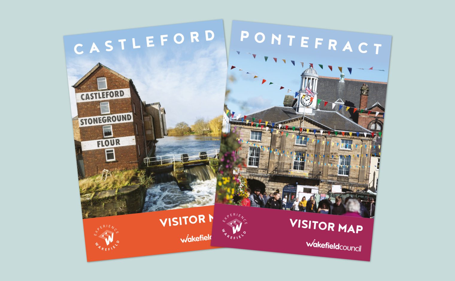
Bespoke designs were created for Wakefield, Castleford and Pontefract. These show a detailed map of the town centres as well as a map of the full district. The maps were printed as leaflets and are placed at the main visitor sites across the district creating awareness of attractions for local people and visitors to the area.


