Stanley Heritage Trail:
Illustrated map for a historic Yorkshire village.
Approach
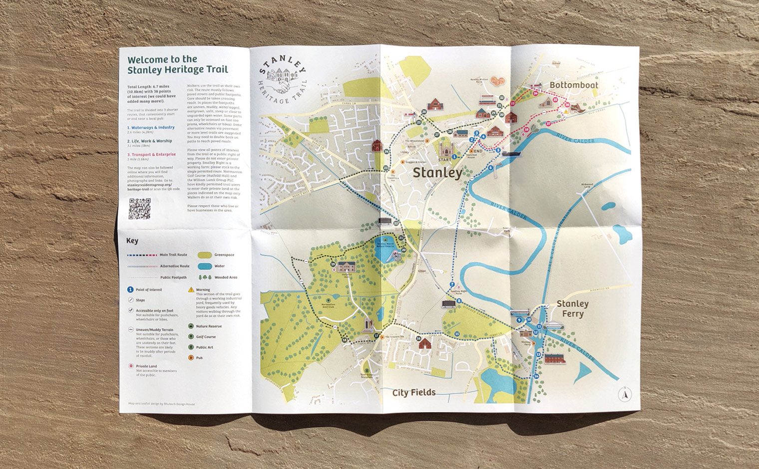
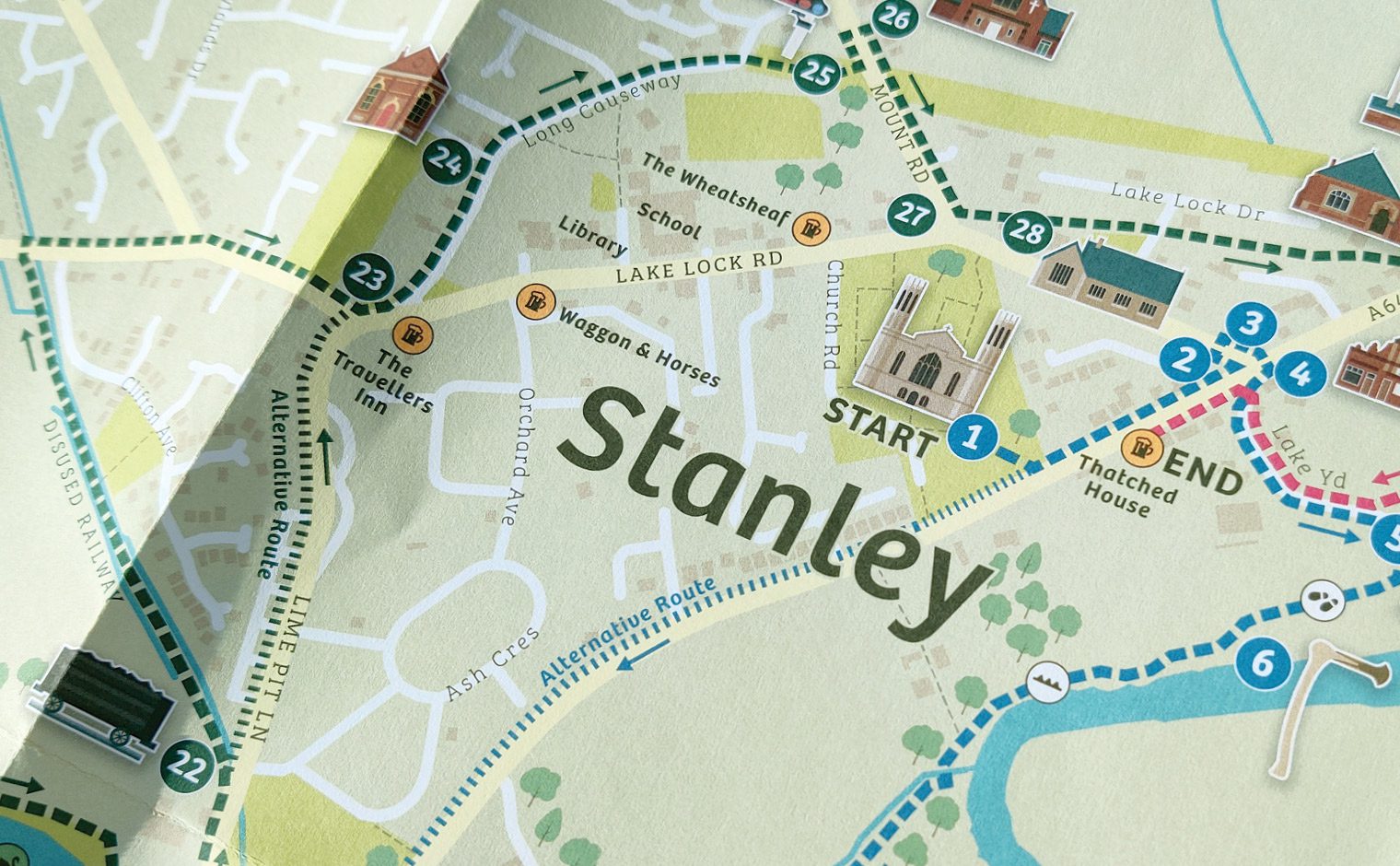
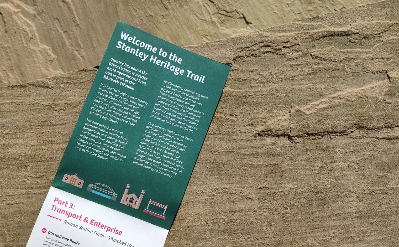
From Bronze Age axes and a Roman coin hoard to an 11th Century log boat and the world’s first iron suspension aqueduct, Stanley’s fascinating history is the subject of a new heritage trail. Working in partnership with volunteers from Stanley Residents’ Group, we created a trail map for this once heavily-industrialised village, which lies just a couple of miles outside the cathedral city of Wakefield.
The map comprises one large 10.8km trail that is split into three smaller ‘themed’ sections, each with a captivating story to tell. There are 38 points of interest along the way, most of which feature custom illustrations to bring the trail to life. The project was made possible with funding from the National Lottery Community Fund, Co-op Local Causes and Wakefield Council.


